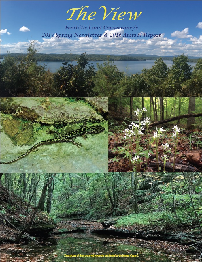
FLC Celebrates ‘Best Year Ever’ Land Preservation Record in 2016!
Click here to read FLC’s 2017 Spring Newsletter & 2016 Annual Report!
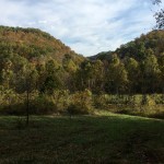
2016 was a record breaking year for FLC’s land preservation efforts! Over 24,800 acres spread across 17 Tennessee counties and the 4 additional states of Alabama, Georgia, North Carolina and South Carolina have now been permanently protected with a conservation easement agreement. 2016’s record year surpasses all other record years!
- Alabama – FLC completed 3 land preservation projects totaling 468 acres in the counties of Cherokee and Dekalb.
- Georgia – FLC completed 8 land preservation projects totaling 1,572 acres in 8 counties of Carroll, Jefferson, Lumpkin, Madison, Pickens and Stephens.
- North Carolina – FLC completed 5 land preservation projects totaling 612 acres in the counties of Chatham, Clay, Graham, Sampson and Watauga.
- South Carolina – FLC completed 1 land preservation project in Williamsburg County totaling 308 acres.
- Tennessee – FLC completed 29 land preservation projects totaling 21,889 acres in the 17 TN counties of Benton, Bledsoe, Carter, Cocke, Clay, Overton, Decatur, Fentress, Franklin, Greene, Grundy, Hamilton, Humphreys, Loudon, Perry, Roane and Sequatchie.
To date, FLC’s cumulative land preservation efforts now cover 90,000 acres across 36 Tennessee Counties and the 6 additional states of Alabama, Georgia, Kentucky, North Carolina, South Carolina and Virginia. Please know that our organization could not come this far without the support of our Friends, thanks to your generous and ongoing contributions FLC is able to expand conservation efforts across our diverse region. Below are a few highlights of FLC’s land preservation projects completed in 2016:
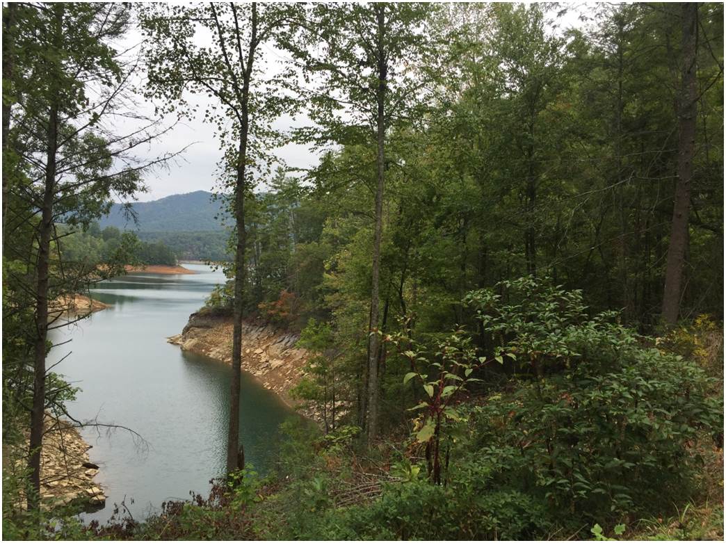
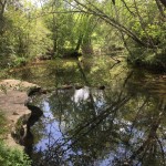
GEORGIA – Lumpkin County | 721 Acres
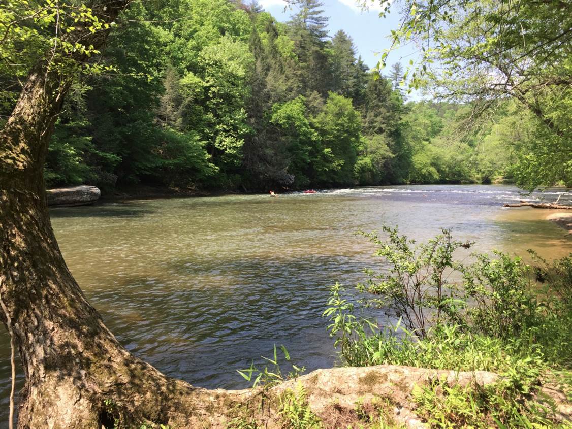
View of the Chestatee River from FLC preserved property in Lumpkin Co., GA.
Situated near the outskirts of the town of Dahlonega in Lumpkin County, Georgia, this newly preserved property will protect approximately 721 acres adjoining the Chestatee River. Natural features include oak-hickory-pine forests, canebrakes, cove hardwood forests, alluvial forests, a river, creeks, springs, small rock outcrops, and small fields. The easement helps to enhance water quality in the watershed downstream. These water features provide a habitat for aquatic organisms, reproductive habitat for terrestrial amphibians, drinking sources for wildlife, and many other benefits.
NORTH CAROLINA – Clay County | 117 acres
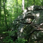
This 117 acre property, located in Clay County, NC, varies from gently rolling topography to severely steep slopes and dry rock outcrops. Virtually all of the land is forested and provides contiguous habitat with adjoining US Forest Service Land. The easement is situated high on a prominent mountain and provides a scenic backdrop above Lake Chatuge in an area that has had a population growth rate of over 20% since 2000. Long range views are supported by the easement for an extensive area at least eight miles away from the tract.
A number of bird species of concern were noted on the property. The Rose-breasted Grosbeak is considered a State Wildlife Action Plan Priority Species. The Eastern Towhee is recognized as an important US Canada Stewardship Species in the Partners in Flight program. This program was launched in 1990 in response to growing concerns about declines in the populations of many land bird species.
-
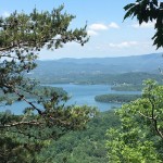
- View of Lake Chatuge from high cliffs on a preserved property in Clay Co., NC.
-
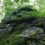
- This property contains natural communities such as uncommon Rich Cove Forest types, rock outcrops and other habitats.
-

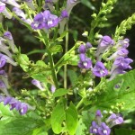
- Vasey’s trillium was found in the rich forests of the property. This is a Southern Appalachian endemic associated with cove forests other rich forests.
NORTH CAROLINA – Graham County | 73 acres
This recently preserved property in Graham Co., NC, is located along Fontana Lake with views of the Great Smoky Mountain National Park.
This beautiful property is located directly across Fontana Lake from Great Smoky Mountain National Park, thus providing scenic views from one of the most visited national parks. The tract directly adjoins United States Forest Service land, the Nantahala National Forest. This continuity is an important ecological concept for sustainable habitat for plant and animal populations as well as ecological communities. Within a one mile radius two other natural areas occur: Meetinghouse Mountain Natural Area and Owensby Branch Natural Area. Easement restrictions will protect steep slopes above Fontana Lake, lake frontage, a reach of Tuskeegee Creek and a small unnamed tributary that flow into the lake.
NORTH CAROLINA – Watauga County | 47 acres
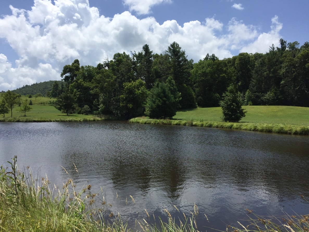
View of pond on recently preserved property in Watauga Co., NC.
The property, which is located on the outskirts of Boone, NC, is within the view shed corridor for the National Park Service’s Blue Ridge Parkway. The site is a combination of gently rolling open land, ponds, and forest. There are four ponds and a spring in the open area. Within one mile of the property, there are a number of rare species documented. These include the Savannah Sparrow, Bobolink, Cerulean Warbler, Gray Comma, Tonguetied Minnow, and a Liverwort.
TENNESSEE – Carter County |12 acres
Located about one mile north of Carvers Gap on Roan Mountain in Carter County, TN, this 12 acre property consists of a young forest on a mountainous slope with the Cherokee National Forest adjacent along the southern border.
Preserved property in Carter County, TN. View of Roan Mountain from road entrance.
This land is being preserved as a relatively natural early successional habitat for wildlife, especially as a potential breeding site for the rare Golden-winged Warbler. It is within several recognized priority conservation areas including the Tennessee State Wildlife Action Plan (SWAP), for the presence of the Southern Appalachian Northern Hardwood Forest. Five Poplar Branch, a stream which skirts the southeast corner of the tract, is recognized among Exceptional Tennessee Waters by the Tennessee Department of Environment and Conservation for being natural breeding grounds of the southern brook trout and the habitat for the state endangered mountain st. johnswort. The richness and importance of the region’s biodiversity is also attested to by the large amount of preserved natural areas within five miles of the property. A 4,200 acre portion of the North Cherokee Wildlife Management Area is adjacent to the tract’s southern boundary. Pisgah National Forest covers the North Carolina side of the Roan Highlands one mile away. The 2,026 acre Roan Mountain State Park is just two miles to the north. Hampton Creek Cove State Natural Area, consisting of 686 acres, is three miles to the east, and the Southern Appalachian Highlands Conservancy has preserved 77 acres located about one quarter of a mile northwest.
TENNESSEE – Clay County & Overton County | 1,157 acres
This 1,157 acre property is located in the Tennessee counties of Clay and Overton and is adjacent to the Standing Stone State Park. Mature forests cover the majority of the property and include a mix of oaks like chinquapin, white, chestnut as well as shagbark hickory, sugar maple, and river birch. The conservation area contains over 3 miles of streams, which are tributaries to the Cumberland River. Protection of these streams will minimize sedimentation into important downstream waterways and contribute to improved water quality. The property contains at least 166 species of vascular plants, including two state listed rare species: butternut (State Threatened, State Vulnerable-S3) and schreber’s aster (State Special Concern, State Critically Imperiled-S1). The Tennessee State Wildlife Action Plan (2015) GIS database ranks nearly the entire Conservation Area as medium priority or high priority for the conservation of terrestrial, downstream aquatic, and nearby karst habitats. The property lies within the Standing Stone LFB Terrestrial Conservation Site (a significant ecological area prioritized for conservation actions) identified in The Nature Conservancy’s The Interior Low Plateau Ecoregion: A Conservation Plan.
-
- The conservation area contains over 3 miles of streams, which are tributaries to the Cumberland River.
-
- Mature forests cover the majority of the property.
-
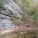
- Limestone cliff and creek.
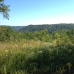
TENNESSEE – Fentress County | 516 acres
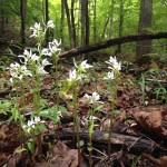
A recently preserved property in Fentress County contains 516 acres that lies in the upland forest on the Cumberland Plateau and the Plateau Escarpment. Hurricane Creek forms much of the border on the east side and White Oak Branch on the north. This land is being preserved for its scenic open space forest, its views of the Cumberland Escarpment and the protection of its natural habitat for the wildlife, breeding birds, aquatic invertebrates and the very rich plant life it supports. It is located within several recognized priority conservation areas including the Tennessee State Wildlife Action Plan (SWAP). This rich property has many preserved federal and state natural areas within 20 miles. These include Big South Fork National River & Recreational Area (91,310 acres), Obed Wild & Scenic River (2,570 acres), Catoosa WMA (7,830 acres), Jackson Swamp WMA (203 acres), Skinner Mountain WMA (4,060 acres) and Pogue Creek SNA (2,583 acres). Many privately owned preserved areas are also established within 20 miles of the tract including five easements that total 1,484 acres. In addition, Foothills Land Conservancy holds 6,226 acres in easements in Fentress and adjacent counties for their farmland, open space, and natural habitat. Hurricane Creek and Little Hurricane Creek just 0.6 miles upstream of the property are designated Exceptional TN Waters for the presence of the threatened Obey Crayfish.
-
- This recently preserved property offers views of the Cumberland Escarpment and is is located within several recognized priority conservation areas.
-

- View of East Fork Obey River.
-

- An image of a crayfish in Hurricane Creek was taken on the property which has been tentatively identified as the Obey Crayfish by a TWRA biologist.
TENNESSEE – Franklin County | 1,514 acres
This biologically diverse property in Franklin County consists of 1,514 acres and lies within close proximity of already preserved state natural areas including: Bear Hollow Mountain WMA (2 miles), Mr. and Mrs. Harry Lee Carter State Natural Area (3.5 miles), Franklin State Forest (5 miles), and Grundy Forest SNA (15 miles). This tract is within Nature Conservancy’s Franklin/Marion/Jackson Mountains priority Conservation Area, which if conserved, has a good probability of preserving the ecoregions biodiversity. The property contains habitats which have been deemed high priority habitat in the Southern Cumberland Plateau Ecoregion, including dry oak forest and woodland, seepage forest, depression ponds and acidic cliffs and talus. 43 woody plant species and 50 herbaceous species were observed during the site visit, along with 32 birds, 1 salamander, 1 frog, 1 snake, several small mammals, and several butterfly and dragonfly species. The rare Green Salamander was observed in the Cumberland Acidic Cliff and Rockhouse habitat, specifically the cliff on the eastern side of the tract. This species is a federal candidate for listing on the Threatened and Endangered Species list. The Tennessee leafcup and purple sedge, both on the TN Department of Natural Heritage List of Rare Species, were observed on the lower slopes of the property below the cliff.
-
- One of several sag ponds noted on the property.
-

- The rare Green Salamandar was observed during a field visit.
-
- View of the rare Tennessee leafcup plant.
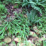
TENNESSEE – Grundy County | 770 acres
Another newly preserved and beautiful property is located northeast of Palmer in Grundy County, TN. This tract is770 acres and consists of pastureland, upland forest, and riparian forest. Water for wildlife is abundant. The Collins River and its tributaries drain the majority of the property, and Mill Creek drains a portion of the west side. A portion of the land had been timbered, at least some parts selectively, perhaps fifty years ago, leaving much of the land in young regenerating deciduous forest with scattered trees approaching perhaps one hundred years old. There is roughly 75 acres is in pasture, currently holding about 60 head of cattle. The remainder of the land is oak-hickory woodland, primarily on the ridge or riparian woodlands along Mill Creek and Collins River with its tributaries. A variety of bird species were heard or seen on the farm including Blue-headed Vireo, Hooded Warbler and Ovenbird in the woodlands and Wood Duck, Field Sparrow, Yellow-breasted Chat and Red-shouldered Hawk in the open areas and bottomlands. The deciduous forests such as those found on the property are prime breeding habitat for Neotropical migrants such as the cuckoos, flycatchers, tanagers and warblers that were observed. Many preserved natural are in close proximity of the conserved land, including the Savage Gulf State Natural Area, which is two miles downstream. There are a number of other non-governmental conservation easements nearby, including a thousand acre tract within 3 miles just west of TN 108, and a 325 acre tract within 6 miles. Within 35 miles along the ridges of the Cumberland Plateau there are thousands of acres of additional easement properties. Among them, Foothills Land Conservancy holds a 755 acre tract nearly adjacent to the property, plus approximately 9,000 additional acres in Grundy and adjoining Marion and Coffee counties.
-
- Pasture overlookning the ridgeline at a preserved property in Grundy Co., TN.
-

- FLC Executive Director, Bill Clabough, during a site visit at the property.
-
- Image of Mill Creek
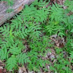
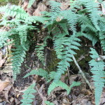
-
- Lush riparian fern beds
-
- Heartleaf skullcap
-
- One of numerous rock outcrops on the property.
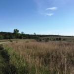
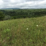
TENNESSEE – Humphreys County | 3 projects totaling 3,098 acres
Three contiguous land preservation projects, totaling 3,098 acres, were placed under conservation easement in Humphreys County, TN. These properties all lie in close proximity to, the Duck River Unit of the Tennessee National Wildlife Refuge managed by the U.S. Fish and Wildlife Service. The Duck River is ranked as a high conservation priority by the Tennessee State Wildlife Action Plan 2015. According to the U.S. Geological Survey, the Duck River is one of three hot spots for fish and mussel diversity in the entire world and is generally considered to be the richest river in varieties of freshwater animals on the North American continent. All of the properties contain at least 3 miles of perennial streams with two of the properties having tributaries to Trace Creek and Cold Branch. Two of the properties have over 90 species of vascular plants identified and all three properties have good, high quality, or high integrity examples of Interior Low Plateau Chestnut Oak-Mixed Oak Forest.
TENNESSEE – Humphreys County & Perry County | 4 projects totaling 4,519 acres
Four contiguous land preservation projects totaling 4,519 acres, located within Humphreys County and/or Perry County areas were placed into conservation easement partnerships with FLC. All four tracts contain high integrity or good quality examples of White Oak-Mixed Oak Dry-Mesic Alkaline Forest and over 100 species of vascular plants such as southern prairie aster and post oak, and blackjack oak. A site visit at one property yielded a sighting of the rare American ginseng. All four tracts also have at least 3 miles of intermittent streams, including tributaries. Three tracts have streams draining into the Duck River and three have streams draining into the Buffalo River both rivers are ranked as a high conservation priority by the Tennessee State Wildlife Action Plan 2015. These four projects, along with the three nearby projects listed above in Humphreys County, and three additional land projects in Perry County, total 10,318 acres of conservation area for both counties in 2016.
-
- Beautiful image of a three-bird orchid.
-
- Sweeping view of conservation area.
-
- Image of an Alabama lip fern on a rock outcrop.
-
- Photo of stream bed vegetation taken during a site visit.
-
- Photo of Interior Low Plateau Chestnut Oak-Mixed Oak Forest
-
- A site visit also captured the rare American ginseng plant.
TENNESSEE – Loudon County, TN | 70.5 acres
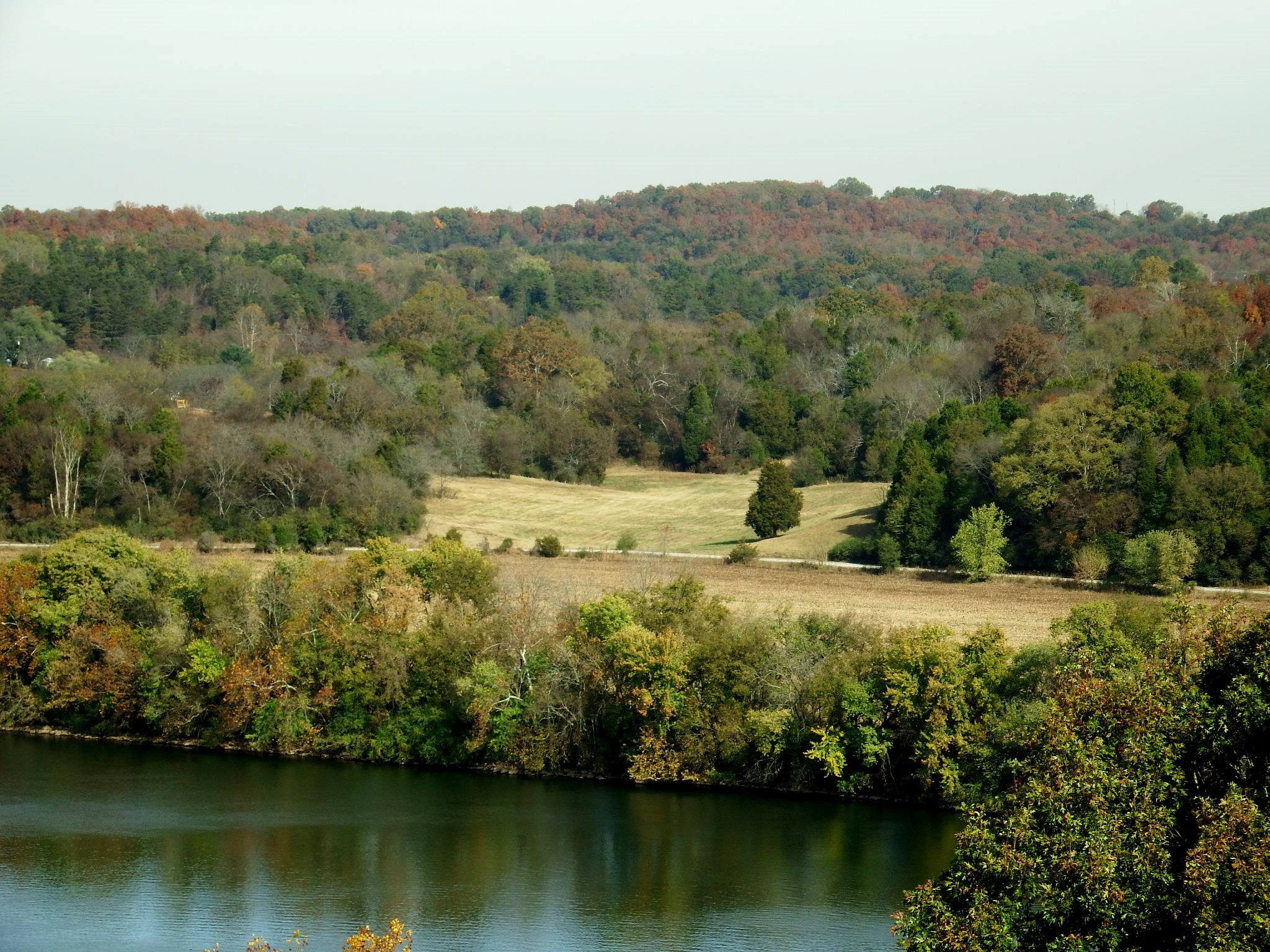
View of the recent preserved property in Loudon County, TN, across from the Tennessee River.
This property consists of 70 acres of farmland and woodlots on the Tennessee River in Loudon County, TN, approximately one mile downstream of Fort Loudoun Dam. This land is being preserved for its scenic open space farmland and woodlands and the protection of its natural habitat for its terrestrial and aquatic wildlife. It is within recognized priority conservation areas including NatureServe’s Critical Watersheds for Freshwater Species. Thirty-two acres of the property is in farmland 16 in pasture on the rolling hills, and 16 in crops on the flatlands adjacent to the river. Two acres of riparian forest form a narrow strip along the river, made up primarily of sycamore, American elm, white ash, box elder, and silver maple. The remainder of the land is scattered among the pastures, mostly on steeper banks, and consists of hackberry, red cedar, and persimmon scattered in the more open areas. 29 bird and 1 late-season butterfly species were also noted on the property. Among them was a flock of 40 Horned Larks. This species is considered a common bird in steep decline by the Appalachian Mountain Joint Venture (Partners in Flight, 2016). It has lost 65% of its population in the last 40 years. There are many preserved natural areas within 20 miles of the property including the Paint Rock Refuge, Watts Bar Wildlife Management Area (WMA), McGlothlin-Largen WMA, and Kingston Refuge. The extensive 31,466 acre Oak Ridge WMA, not on Watts Bar Lake, is only 7 miles from the preserved site.
TENNESSEE – Perry County | 139 acres
This 139 acre property in Perry County, TN, is visible from the Tennessee River, thus providing a natural scenic view to the general public. This
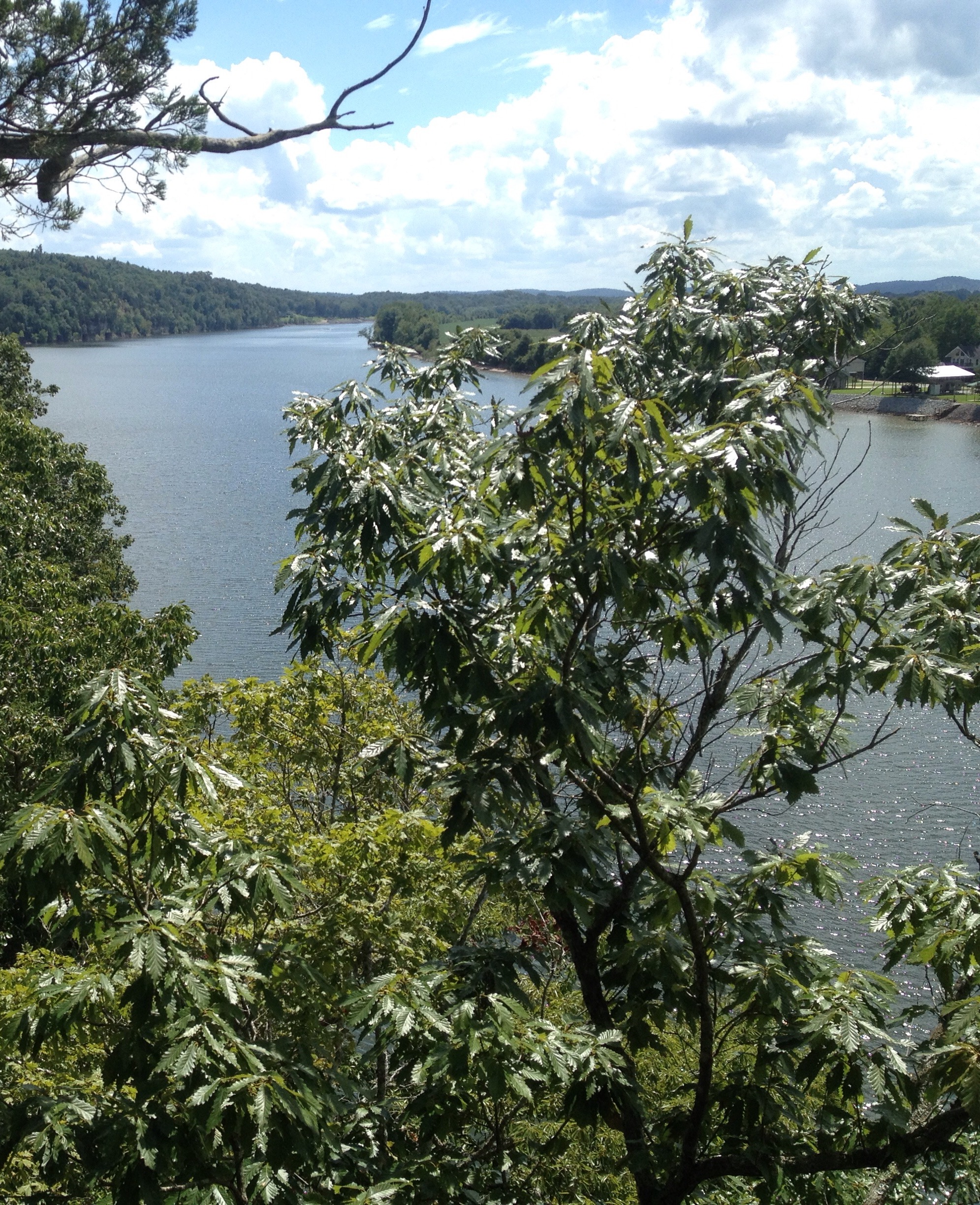
Image of Tennessee River taken from the bluff of a newly preserved property in Perry County, TN.
tract also has frontage on the Tennessee River for over 3,000 feet and contains both mature and regenerating forests, and meadows. The Eras Bluff is a steep west facing slope adjacent to the Tennessee River that has extensive limestone outcrops and mature mixed hardwood forest.
The tract contains suitable habitat for over ten Greatest Conservation Need species identified in the 2015 Tennessee State Wildlife Action Plan, including the Wood Thrush, Yellow-breasted Chat, Prairie Warbler, Allegheny Woodrat, Timber Rattlesnake and Eastern Box Turtle. At least 115 vascular plant species have been identified on the property including many limestone endemic or near-endemic species such as blue ash, bristleleaf sedge, false goldenrod, false aloe, cedar glade st. john’s wort and purple cliffbrake.
TENNESSEE – Roane County | 380 acres
This 380 acre property in Roane County, TN, is located on a prominent peninsula that extends into the southern shoreline of Watts Bar Lake. The tract contains about 1.5 miles of undeveloped, forested lakeshore plus high ridges and hills that rise 300 feet above the lake. The forested shoreline, ridges, and hills on the tract serve the public’s enjoyment of the scenic watershed around the lake. The property borders a popular summer camp, Camp John Knox, along the northern boundary. Camp John Knox offers summer camp programs for children and youth groups and also operates the River Ridge Environmental Education Program offering hands on environmental programs for a variety of grade levels. The tract is also in the view shed of Camp Buck Toms, a Boy Scout camp. The tract has a diversity of habitats ranging from mature oak-hickory forests with abundant mast to early successional fields that contain abundant cover and soft mast. Also, the lake and its shoreline provide feeding grounds for many species of shorebirds and wading birds. This diversity of habitats in a relatively remote, undisturbed setting provides quality wildlife habitat for a corresponding diversity of wildlife species. The quality of the habitat on the conserved land is also important not only for resident species but also for many migrants, particularly birds that use the Tennessee River valley as a migration corridor during the fall and spring months. As an example, of the 47 species of birds were observed during a single-day site visit in October 2016, at least 12 of those species were Neotropical migrants using the property as a stopover during fall migration. Thief Neck Island, located less than one mile north of the property, is approximately 400 acres and is listed as a Watchable Wildlife site on the Tennessee Wildlife Viewing Trail. Bald eagles regularly roost at various sites along the reservoir during winter month with one of the largest of these roosts is found at Thief Neck Island. Ospreys can easily be seen during the summer months at Thief Neck Island. Both Bald Eagles and Ospreys were seen flying over the tract during the site visit in October 2016. During the site visit, numerous tracks of white-tailed deer were seen, several flocks of wild turkeys were observed, and tracks of other wildlife cottontail rabbits, gray squirrels, raccoons, and gray fox were plentiful.
-
- View from a recently preserved 380 acre property in Roane County, TN, looking out at Watts Bar Lake.
-
- Image of wetland on the newly preserved property.
-
- Early successional field
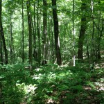
TENNESSEE – Roane County | 1,070 acres
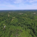
Another preserved property, also in Roane County, TN, includes 1,070 acres of upland forest and riparian forest located on the north side of Interstate 40 with Harriman’s city line forming the western boundary. Walden Ridge traverses the entire length of the property, forming steep forested slopes on both sides with uplifted escarpment rock outcrops on the south-facing slope. This ridge actually stretches 74 miles along the eastern edge of the Cumberland Plateau. The property is being preserved for its scenic open space forest, escarpment outcrops as well as the protection of the relatively natural habitat corridor for the terrestrial and aquatic wildlife and rich plant life it supports. It is within several recognized priority conservation areas including the Tennessee Wildlife Resources Agency (TWRA) State Wildlife Action Plan (SWAP). From the rock outcrops within the property, one has spectacular views to the north, east and south. Among the scenery to the southeast is the ridgeline of the Great Smoky Mountains National Park from 50 up to 80 miles distant. The preserved land and the entire Cumberland Escarpment can be viewed from high points in the Smoky Mountains such as Gregory Bald and Look Rock. 
-
- Sweeping view from property’s overlook with Watts Bar Lake in the distance.
-
- Lush undergrowth on the north side of the property.
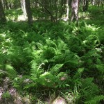
-
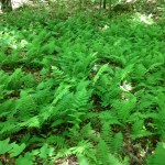
- One of many lush NY fern beds on the property.
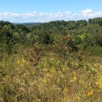
TENNESSEE – Sequatchie County & Van Buren County | 1,088 acres
This 1,088 acre property is situated in northeastern Sequatchie County, with 13.5 acres in adjacent Van Buren County, and very near to the Bledsoe County line. This undeveloped and open tract located on the Cumberland Plateau is mostly covered in ruderal vegetation of early to mid-successional stages, and includes saplings, shrubs, grasses, and forbs. The different habitats found on the tract could provide a variety of food sources, nesting, and cover for many native wildlife species. Most of the property has been heavily impacted by timbering and strip mining, which have occurred at various times in the past. Regenerating timbered areas appear to be somewhat diverse in native tree, shrub and forb species, suggesting that recovery is both possible and occurring. During an FLC staff site visits in 2016, the team found three reclaimed stripmines on the property that were supporting 18 pair of Henslow’s Sparrow. This species is ranked by the Tennessee Department of Environment and Conservation (TDEC) as S1B, which is defined as extremely rare and critically imperiled in the state with five or fewer occurrences, or very few remaining individuals 12 that breed in the state. TDEC lists it in only four Tennessee counties – Coffee, Lewis, Montgomery and Stewart. Sequatchie County, in which the bulk of the property lies, is therefore a newly found location for this imperiled species.
-
- After an initial sighting, FLC Biologist, Tom Howe, looks for more signs of the Henslow’s Sparrow while visiting what is now a newly preserved thousand acre property in Van Buren County, TN. This sparrow is listed by the Tennessee Department of Environment & Conservation as rare and critically imperiled in Tennessee.
-

- Another image of property with a photo of the Henslow’s Sparrow.
-
- This undeveloped and open tract located on the Cumberland Plateau is mostly covered in ruderal vegetation of early to mid-successional stages, and includes saplings, shrubs, grasses, and forbs.
******************************************************************************
Click here to read about FLC’s 2015 Land Preservation Projects!
Click here to read about FLC’s 2014 Land Preservation Projects!
Click here to make a donation to Foothills Land Conservancy. FLC is dedicated to promoting, protecting and enhancing the lands and environments of the Southern Appalachian region and promoting the character of the land for the general public, now and in the future. FLC is a 501(c)(3) and does not receive any financial assistance from local, state or federal governments. We rely on individual and corporate contributions solely to sustain our organization, land acquisition and stewardship funds.